
Need a LiDAR Scan? Upload Your Site. Get a Custom LiDAR Quote—FAST.
Submit your site details and our team will review your files and email you a custom quote—usually within 1 business day.
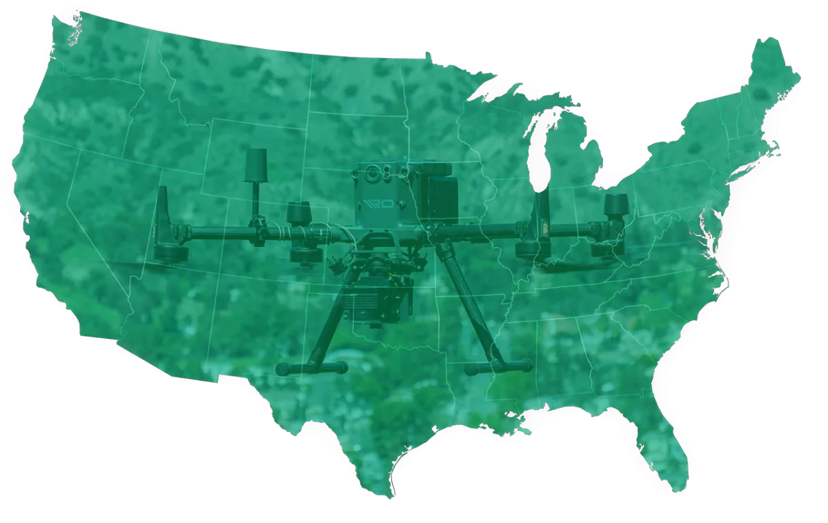
Why Choose Pro LiDAR?
Nationwide coverage – deployable anywhere in the U.S.
Map up to 1,600 acres/day with drone-powered LiDAR
Commercial-grade accuracy with customized processing
No outsourced work — all post-production done in-house
Fast, secure file handling and private quote delivery
Surveyor-in-the-Loop Model: PLS-grade surveys via licensed partners, by request.
ⓘ Remote Optix Inc. is not and does not represent itself as a Professional Licensed Surveyor or Licensed Engineer. We do not provide surveying or engineering services, but instead subcontract out any such work to appropriate third parties. We provide earthwork estimating services and file conversion services for machine control model systems. All files converted are provided by licensed surveyors or engineers in their respective state.
Copyright © 2025 Remote Optix Inc. All Rights Reserved.